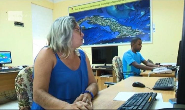
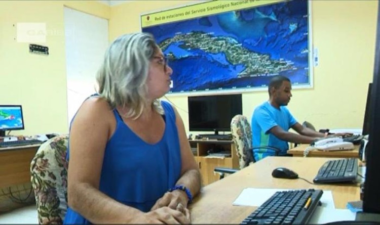
HAVANA, Cuba, Dec 8 (ACN) The National Center for Seismological Research ( CENAIS by its Spanish acronym) highlighted on X the first tsunami danger map for the Cuban coasts obtained by specialists of that scientific-technical institution.
Cuba has its tsunami danger map, CENAIS published in reference to the new research result, according to which the localities most exposed to this type of event are Maisi, Baracoa and Moa, located in the northeastern part of the country, and the beaches on the northern coast of the eastern half, among them Cayo Satia, Guardalavaca and Cayo Coco.
The presentation of the new map was made in the context of the 11th International Congress on Disasters, which is in session until today at the Convention Center in Havana, together wi


